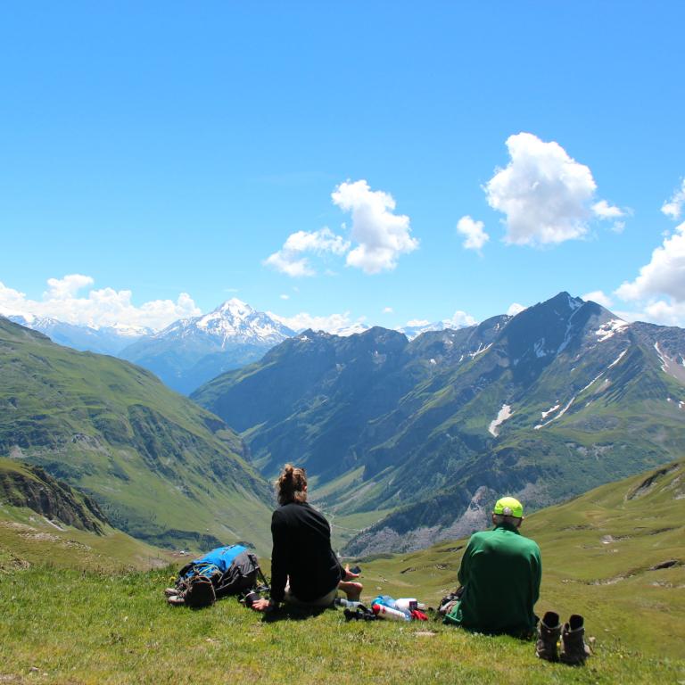
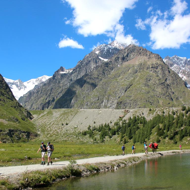
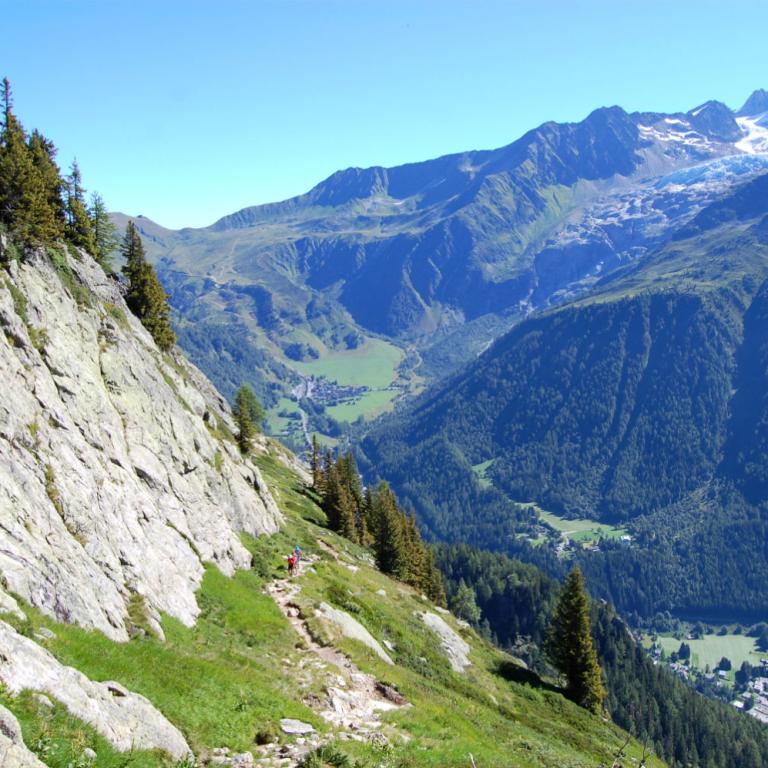
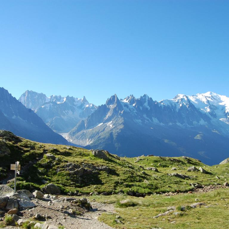
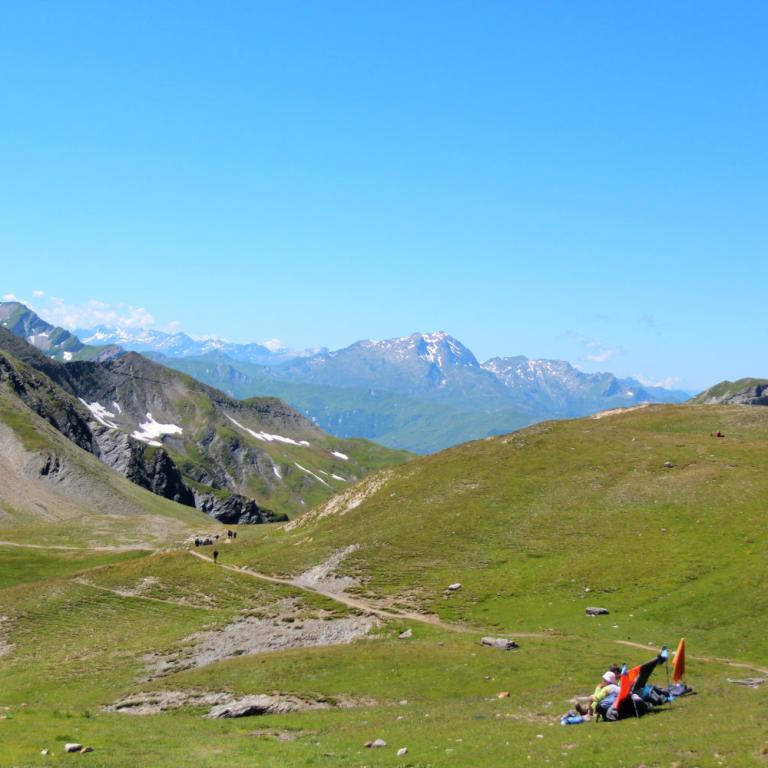
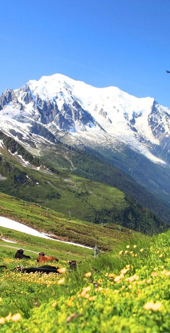
panoramic view of mont blanc

Tour du Mont Blanc

Level
4
Distance
152 km
Duration
11 days | 10 nights
period
May Jun Jul Aug Sep
price from
€ 1.400
CO2 footprint
185 Kg/person
  1. France
  2.  | 
  3. Self-Guided
  4.  | 
  5. Tourcode FRSW403

The Roof of Europe, our continent's towering pinnacle, one of the world's magnificent seven summits. Mont Blanc is not just a destination; it's a legendary calling for mountain aficionados. This epic tour is a dream come true, an exhilarating journey through protected areas of awe-inspiring beauty, where wildflowers carpet the trails and glaciers shimmer brilliantly in the sun. And that's just the beginning!

As you venture forth, you'll encounter verdant pastures so lush they seem to belong in a fairy tale, quaint mountain villages exuding charm, snow-draped peaks that touch the sky, and a remarkable array of wildlife sharing your path.

What's even more captivating is that this tour spans three nations – France, Italy, and Switzerland – each with its own unique culture and approach to mountain life. It's an enchanted adventure, tailor-made for those who have surrendered their hearts to the mountains and are ready to embrace their challenges head-on.

The effort you invest will yield abundant rewards, as you soak in breathtaking vistas that will etch themselves into your heart and mind, forever providing a wellspring of beauty whenever you yearn for it.
Highlights

  • Admire Europe’s highest mountain, with peaks capped by a blanket of snow;
  • Enjoy the beautiful Val Veny and the Aiguille des Glaciers;
  • Try rich and tasty mountain cuisine, including delicious cheeses, polenta, mushrooms
  • Stay in cozy and typical mountain huts

Itinerary

Day 1

Arrive in Chamonix

Arrive in Chamonix

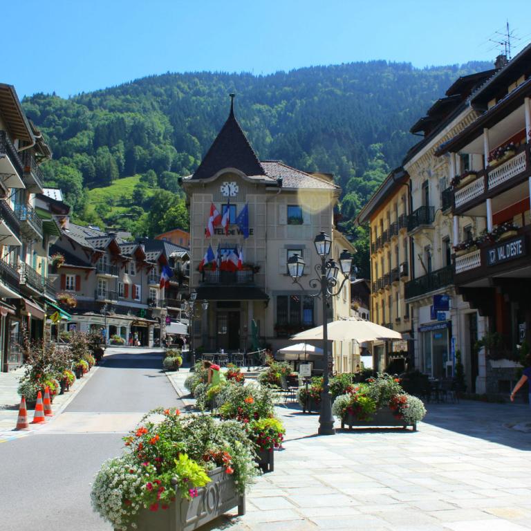
The trek starts in Chamonix: on your first day you can spend your day wandering through the streets of this lively city, do a little shopping in the many shops of the city centre or maybe spoil yourself with a visit to the spa.

Day 2

From Chamonix to Les Contamines, 20,5-18 km

From Chamonix to Les Contamines, 20,5-18 km

Today's walk starts with a bus from Chamonix to Les Houches, followed by the Bellevue cable car, up to 1800m. From here, instead of going up the "French normal route" of Mont Blanc (up to the Gouter hut at 3800m and to the summit at 4810m) you follow the edge of the mountain to Col de Voza and then start descending to the valley.
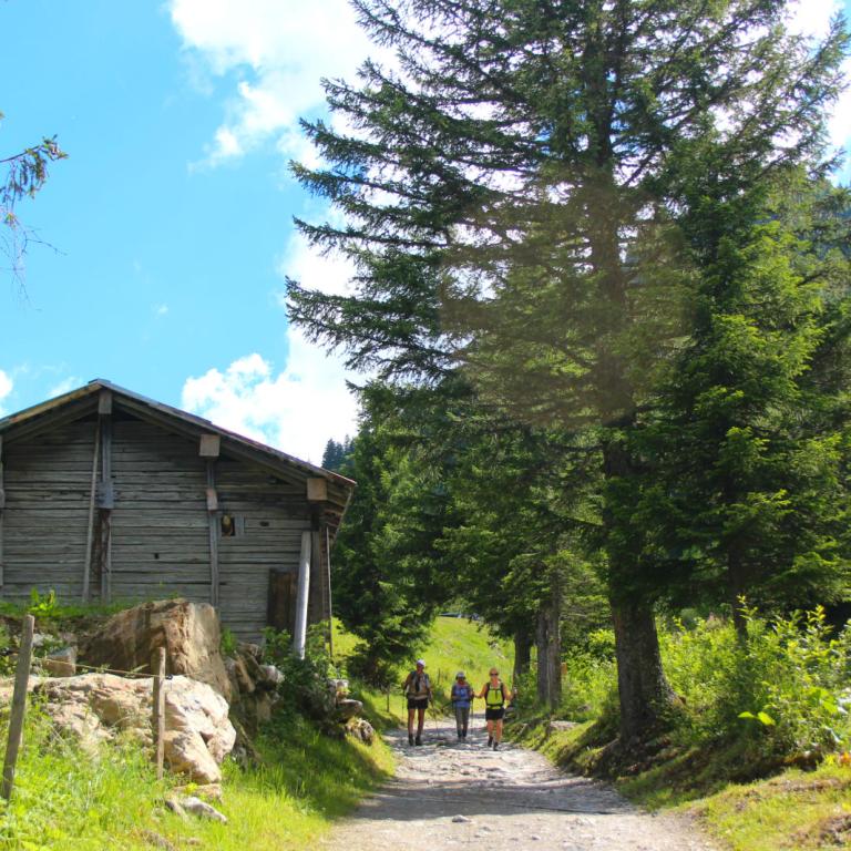
Here you can see the typical mountain's way to make the roof of the houses, with large flat stones. Later you go through several small villages on the valley floor with Mont Blanc peeking out again from the sky. The last part of the trail is along the Bon Nant river, to Les Contamines.
You then continue along an ancient Roman path and one of Europe's most famous trails, across blooming meadows and striking woodland to the refuge, a typical mountain chalet with a breathtaking view. Walkers are accommodated in small dormitories for between six to nine people and a hearty evening meal is served in the chalet's cosy dining room.

Distance: 20,5-18 km km

Elevation gain: +990/-1095 m

Day 3

From Les Contamines to Les Chapieux, 15 km

From Les Contamines to Les Chapieux, 15 km

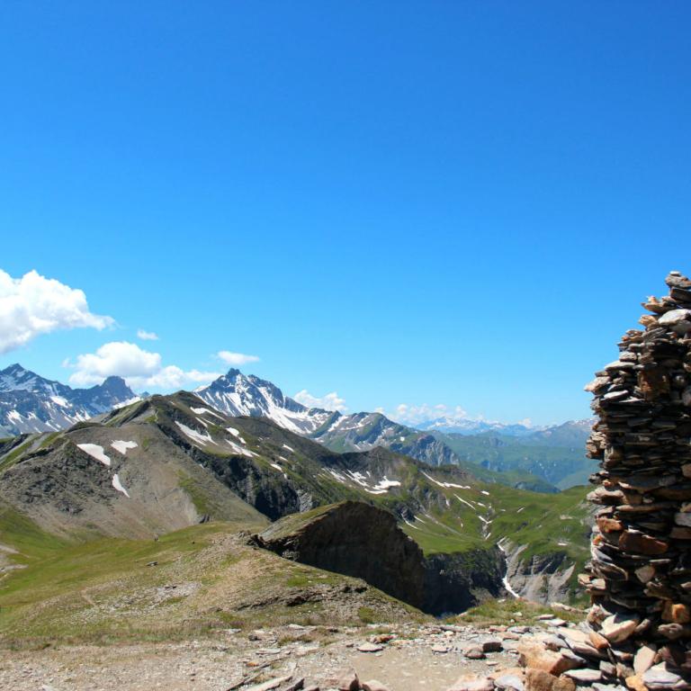
Today's walk takes you through the Plan des Dames up to the Col du Bonhomme (2329m) then still a bit further up to the Col de la Croix du Bonhomme (2479m). You'll see a peculiar combination of stones marking the top of the pass from where you can admire the valleys stretching out for miles around you. From the pass you make a long descent through the open meadows of the Vallee des Chapieux, criss-crossing small brooks and passing mountain huts. At the bottom of the descent you reach the tiny village of Les Chapieux. Your accommodation tonight is a simple mountain hotel.

Distance: 15 km

Elevation gain: +900/-900 m

Day 4

From Les Chapieux to Val Veny/Courmayeur, 14-19 km

From Les Chapieux to Val Veny/Courmayeur, 14-19 km

Today is the longest and most demanding day of the holiday but definitely very scenic, with surprising landscapes all the way. After two days spent walking in France, today you go over the Col de la Seigne (2516m) and enter into Italy through the Val Veny. The day starts off with a climb through a deep gorge surrounded by vast pastures with lunar-like scenery as backdrop.

The Col de la Seigne and the Aiguille des Glaciers mountains loom large in the distance on the border between Switzerland and Italy. Once over the top of the pass you descend into the Val Veny Valley on the opposite side of Mont Blanc, from where you can enjoy magnificent views of the snow-capped peaks.

Depending on avaibility, today you may be booked at a nice Rifugio in La Lex Blanche or at Courmayeur: if you are booked here, you will walk 5,5 kilometres to reach a bus stop in La Visaille where you will take a bus to Courmayeur.

Distance: 14-19 km

Elevation gain: +1180/-1380 m

Day 5

From Val Veny/Courmayeur to Val Ferret, 5,5-12 km

From Val Veny/Courmayeur to Val Ferret, 5,5-12 km

Today’s walk is divided into 2 parts; if you have slept in Rifugio Elisabetta, in the morning you will walk 5,5 km to the bus stop and descend towards the famous city of Courmayeur by bus. Courmayeur is a renowned ski resort where you can have a welldeserved rest before starting off again with a steep ascent followed by a level walk through meadows and conifer woods to Val Ferret, passing many small brooks, with the wonderful, aweinspiring silhouette of the Grand Jorasses standing out. If you feel tired, or if you prefer to stroll through the streets of the centre, you can stop in Courmayeur and then take a bus directly to Val Ferret.

Distance: 5,5-12 km

Elevation gain: +800/-400 m

Day 6

From Val Ferret to La Fouly, 18 km

From Val Ferret to La Fouly, 18 km

This morning's walk will take you up a steep ascent and past ruined farmhouses. This marks the start of your journey into Switzerland.
The first 4 or so kilometres are a gradual 150m ascent along a surfaced road. If you wish, you can avoid this section by taking the SAVDA bus that stops in front of the hotel.
From Waypoint 4 a steep and rewarding climb takes you to Rifugio Elena then on to the border crossing with Switzerland, at the top of the Col du Gran Ferret (2537m). The views of the receding Glacier and the perennial snow of Triolet and Pre de Bar are imposing. The descent is through vast open meadows with very few traces of human settlement. You pass a couple of mountain huts then nearing the small hamlet of Ferret and on to La Fouly, the trail passes through idyllic scenery of forests, creeks and picturesque wooden bridges. You spend the night in the village of La Fouly.

Distance: 18 km

Elevation gain: +870/-920 m

Day 7

From La Fouly to Champex-Lac, 18 km

From La Fouly to Champex-Lac, 18 km

After the efforts of the last few days, today offers you an easier walk. This section is quite long, but the elevation gains and losses are not so pronounced. Starting off from La Fouly, you follow the river encountering a succession of woods, interrupted by cliff walls and small streams. You then walk through meadows to reach Les Arlaches, a beautiful hamlet with many traditional wood and stone houses. The last stretch is up a long winding climb, it's not too steep and there are interesting wood sculptures along the way to look at. At Orsieres the trail descends to Champex-Lac, a pretty mountain village situated on the lake. You continue past the lake and up the ski area of Arpette where you spend the night. From La mm Breya ski area you follow the trail to Relais d’Arpette.

Distance: 18 km

Elevation gain: +700/-715 m

Day 8

From Champex-Lac to Trient, 15,7 km

From Champex-Lac to Trient, 15,7 km

From Arpette to Trient via Fenêtre d'Arpette a spectacular walk over the Fenêtre d'Arpette (2665m) from where you descend along the Glacier du Trient. Trient (1300m) is a village on the pass road from Martigny to Chamonix.

In bad weather, there is an alternative route, From Arpette to Trient via Champex-d'en Haut, through cool forests and beautiful alpine meadows that take you to Col de la Forclaz, which is an important link between Switzerland and France. This walk enjoys breathtaking panoramas and reaches 2050m.

Distance: 15,7 km

Elevation gain: +710/-1125 m

Day 9

From Trient to Argentière, 14,5 km

From Trient to Argentière, 14,5 km

Today you'll get to have your last views of Mont Blanc and enjoy your final walk to Argentiere. You are above the ski resort of Le Tour from where you hike towards Lake Charamillon (2271 metres). You then continue on to the immense Glacier du Tour and back into France. An exhilarating rocky trail along the mountain crest allows you to enjoy astounding views of the glacier and the surrounding valleys. As you reach the border between Switzerland and France, you can see Mont Blanc shining white, especially on sunny and bright days. You descend among pastures for the last section of the walk until you arrive at Argentiere.

Distance: 14,5 km

Elevation gain: +985/-905 m

Day 10

From Argentière to Chamonix, 19,5-17,5 km

From Argentière to Chamonix, 19,5-17,5 km

The walk today is quite long so start early! You begin walking through the pretty little village Les Frasserands, with the typical wooden houses of the French alps. After going through the botanic path you start climbing uphill, into the Aiguilles Rouges Natural Park. You can decide if you want to continue to climb up to Lac Blanc (it involves the climb of an iron ladder, so if you suffer from vertigo you better not do that) or start descending to La Flegere. The route is very panoramic, in front of you the Mont Blanc massif, with the Aiguille Verte, the Drus, the Aiguille du Midi, Mont Blanc du Tacul and Mont Blanc, untill you arrive at Planpraz, where the cable car will take you down to Chamonix (last one is at 5 pm). If you are tired or in short of time you can also take the cable car at La Flegere.

There are 2 Options for today’s walking
Option 1 is slightly shorter. The 17,5 kilometre walk is expected to take around eight hours to complete and you will ascend a total of 1443 metres and descend 789 metres.

Option 2 is longer. The 19,5 kilometre walk is expected to take around around nine hours to complete and you will ascend a total of 1500 metres and descend 1380 metres.


Distance: 19,5-17,5 km

Elevation gain: +1620/-1440 m

Day 11

Arrivederci Chamonix!

Arrivederci Chamonix!

The trip and our services end after breakfast unless you have booked extra services or extra nights.

Details

Is this for me?


This tour is perfect for those ready for a grand adventure: it's an epic and beautiful journey, among the most beloved by mountain enthusiasts. Due to its length and altitudes, it ranks among our most challenging trips, and we recommend it only to those with significant experience in multi-day mountain excursions and a flexible mindset.

Accommodations involve dormitories and shared facilities in mountain huts.


It is absolutely not recommended for individuals with vertigo or even minor difficulties walking on uneven terrain, as a substantial portion of the route takes place on rocky terrain and mountain trails.

Included


What is included

  • 8 Nights in mountain huts in dormitory with shared bathroom and 4 nights in hotel room with private bathroom and with breakfast
  • 8 dinners (in the huts)
  • maps and detailed description of the itinerary
  • Medical and luggage travel insurance
  • 24h phone assistance

What is not included 

  • Transfers to the starting location and from the arriving location of the tour
  • lunches and dinners, if not otherwise stated
  • luggage transfer
  • visits and entrance fees - tips
  • personal expense
  • possible sojourn taxes
  • everything that is not mentioned in the "What is included" section.

Optional Services

These services can be added to the ones included in the base price of the tour:

  • Single room supplement
  • luggage transfer
  • cancellation insurance
  • Transfers to reach the starting location or to leave the arriving location of the tour, which will be quoted on request.

Accommodation


Para nuestros viajes, siempre seleccionamos alojamientos con habitaciones privadas y baños privados. En casos excepcionales, pueden incluirse alojamientos compartidos o baños compartidos, por lo que recomendamos revisar cuidadosamente la sección de inclusiones para comprender el tipo de alojamiento proporcionado en el viaje que le interese.

Damos gran importancia a la elección de los alojamientos y seleccionamos los hoteles con cuidado y atención. Sabemos lo esencial que es descansar bien después de un día de caminata. Preferimos alojamientos acogedores y con encanto, idealmente de gestión familiar, que realmente reflejen el espíritu del lugar y puedan recibirte con comodidad y calidez.

Cuando, debido a la naturaleza del recorrido, la elección de alojamientos es limitada, seleccionamos la opción que mejor se ajuste a nuestros estándares.

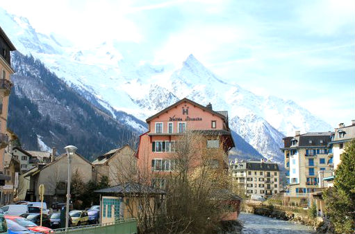
Hotel La Vallée Blanche Chamonix
Hotel La Vallée Blanche - Chamonix

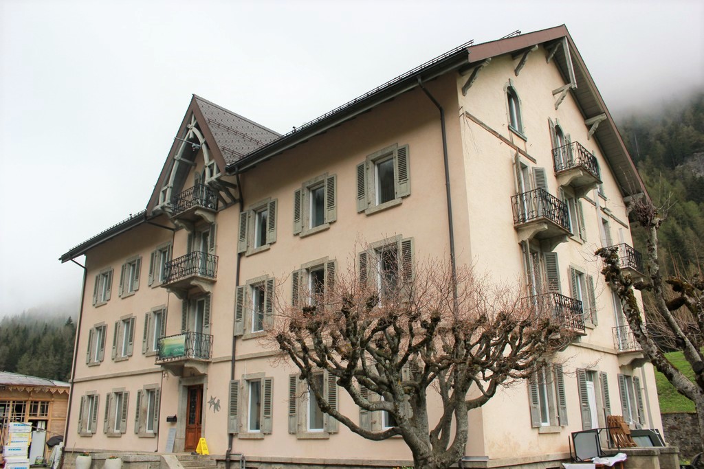
Hotel La Vallée Blanche is a family run hotel situated in Chamonix-Mont-Blanc, on the Arve river shores, housed in a 17th century building. Rooms are comfortable and welcoming with private bathroom, free Wifi, mini-bar, air conditioning/heating and some of these have a private balcony. Staff is kind and helpful. Hotel also have a pub with live music and a large terrace.

www.vallee-blanche.com

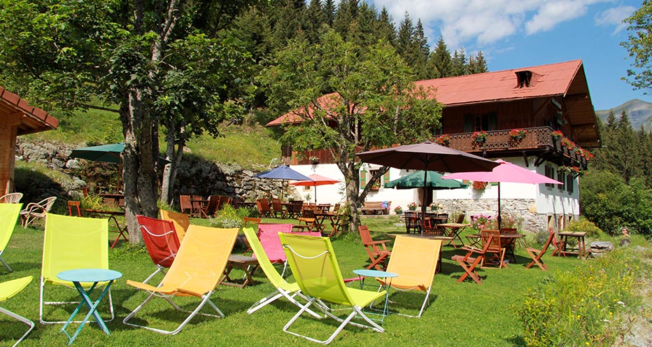
Refuge Nant Borrant Les Contamines-Montjoie
Refuge Nant Borrant - Les Contamines-Montjoie

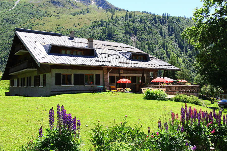
This refuge is surrounded by green and the beautiful landscape of Dolomites. It has 5 little dormitories with 5 or 9 beds, very simple. The restaurant offers homemade dishes. Owners are welcoming and courteous. 

www.refuge-nantborrant.com

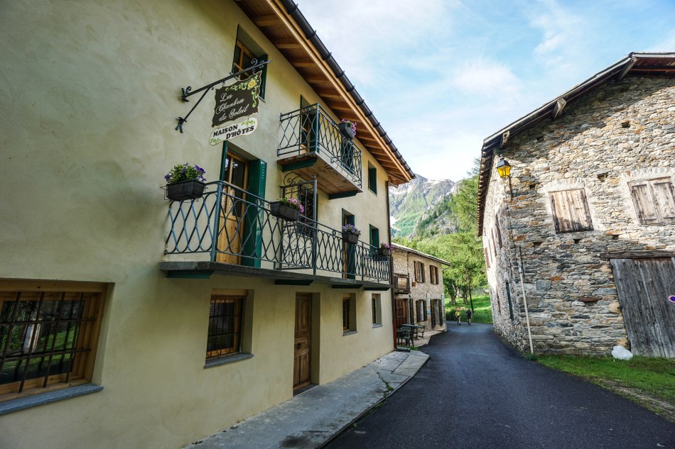
Hotel Les Chambres du Soleil Bourg Saint Maurice
Hotel Les Chambres du Soleil - Bourg Saint Maurice

This Hotel is situated in Les Chapieux, a little hamlet located at 1554 m on the Route of the Great Alps which connects the Geneva Lake to the Mediterranean. Rooms are basic, but clean and well-finished with private bathroom. Homemade breakfast is very good. The restaurant is very good and proposes typical dishes. 

www.leschambresdusoleil-montblanc.com

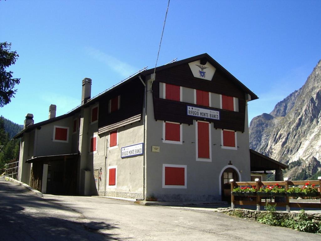
Rifugio Monte Bianco Courmayeur
Rifugio Monte Bianco - Courmayeur

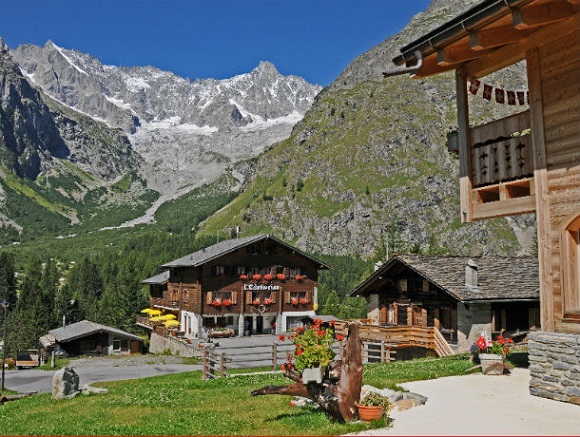
The hut is located in the Aosta Valley at the foot of Mont Blanc a few kilometers from Courmayeur. It has 56 beds in rooms for 2-4 people and a dormitory with 14 beds. The restaurant proposes typical dishes and drinks of the Aosta Valley cuisine. 

www.rifugiomontebianco.com

Albergo Lavachey Courmayeur
Albergo Lavachey - Courmayeur

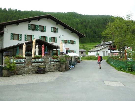
Hotel is located in the heart of Val Ferret at 1642 m above the sea level and 11 km from Courmayeur Mont Blanc city center. Rooms are basic, but spacious and well-finished with rustic style and running hot and cold water. There are 5 shared bathrooms. The restaurant is very good and proposes regional and Italian products and dishes.

www.lavachey.com

Hotel Edelweiss La Fouly
Hotel Edelweiss - La Fouly

Hotel Edelweiss*** is centrally located in the alpine hamlet of La Fouly. Rooms are basic with TV, free Wifi, telephone, private bathroom and a little balcony. The restaurant offers typical local dishes. 

fouly.ch/Lafouly

Relais d'Arpette Orsières
Relais d'Arpette - Orsières

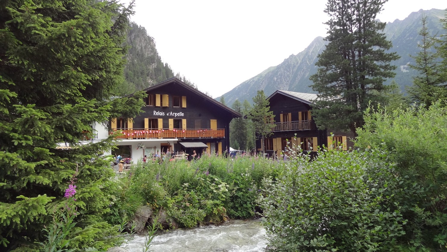
Relais d'Arpette is strategically located and it offers spacious and clean dormitories with common bathroom. The restaurant offers local dishes. Breakfast is normal.

www.arpette.ch

Hotel La Grande Ourse Trient
Hotel La Grande Ourse - Trient

Hotel La Grande Ourse is completely renovated located at 1300 m above the sea level at the foot of two different glaciers and Col de la Forclaz. Rooms are basic with wooden furniture. There are common bathrooms and changing rooms. Breakfast and restaurant are normal. 

www.la-grande-ourse.ch

Hotel L'Olympique Argentiere
Hotel L'Olympique - Argentiere

Hotel L'Olympique overlooking the beautiful views of Chamonix Valley and offers well-furnished rooms, clean and well-finished with mountain style and TV, free Wifi. Highly recommended the restaurant that proposes a simple and varied menu with fresh, quality products prepared with traditional methods. Owners are welcoming and helpful.

www.hotel-olympique-chamonix.com


What to bring


Clothing and other items
You will need your regular walking/cycling gear, including some sort of reflective garment. For the evenings, smart outdoor style trousers (or shorts) are invaluable, as are quick-dry t-shirts. These can be washed easily and will dry overnight and still look good for sightseeing or having a drink in town.

Take as little as possible to avoid potentially lugging a heavy suitcase up three flights of stairs at the end of the day. Please be aware that laundromats (“Laverie”) are not common in rural areas, so plan to do handwashing of small items.

Lightweight walking shoes/ trainers
For wearing around towns & villages. They can also be a back-up pair.

Socks & underwear
Take only good quality socks with quick-dry and insulating qualities. Road test them before you go on the trip. Take a suitable quantity of underwear as washing facilities are limited.

Warm jacket, hat, gloves
Bring a fleece, Polartec or warm layers for the evenings especially in spring or autumn; be sure it is totally suitable for your needs.
A fleece jacket which blocks the wind (Wind-stopper) is the most preferable. In the summer months a lightweight jacket is suitable for evenings.
If you are cycling/walking in mountainous or coastal areas, even in the height of summer, the weather can change very quickly and unexpectedly and you should be prepared for fog, mist, rain, snow or hail at any time. Always take an extra layer with you, as well as a warm hat and gloves.

Waterproof jacket & trousers
If you are caught in heavy rain, with good waterproof clothing you should remain dry. Remember that most garments will lose their properties over time. Few will remain waterproof for more than five years and many deteriorate in three years or less. We recommend a rain jacket with a good hood and collar and waterproof or thermal walking/cycling trousers or tights.

Dress code
In general, you should wear suitable clothing when entering a church (in many places, it is considered unacceptable to go inside wearing shorts or a tank-top). We suggest that women carry a shawl to cover up bear shoulders or low-cut tops. It also comes in handy when your shoulders get sunburned!

It is considered inappropriate for men to go without a shirt / T-shirt (other than at the beach).

Trekking poles (adjustable)
Highly recommended. A pair works best, depending on what you are comfortable with. If you suffer from back or knee pain this should be considered essential. Remember to practise walking with your pole(s) on different types of terrain in the months preceding your trip.

Walking boots
The importance of good footwear cannot be stressed enough. Your boots should be sturdy and of good enough quality to handle all types of terrain. Lightweight boots, (cordura/leather boots) which have Gore-Tex or sympatex water-proofing are most suitable for this trip. They should provide good ankle protection and be well broken in. Waxing leather boots regularly prolongs their life.

Walking tops & trousers
We recommend walking trousers and shorts and quick-dry wicking t-shirts. These can be washed easily and will dry overnight and still look good for sightseeing or having a drink in town. Wicking T-shirts are fast drying, keep moisture away from your skin and are available at outdoor stores. You should also bring one pair of loose-fitting trousers to wear in cities and for evenings out, etc. Shorts or zip-off trousers are useful in warmer weather.

Practical info

How to arrive


On arrival there is a regular bus service from Genève airport to Les Contamines (www.sat-montblanc.com), trip can last from 1 hour 45 minutes to 2 hours 30 minutes, price for a one way ticket is 35 euros per person; also possible is to prebook a private transfer (www.alpybus.com), price is 230 euros up to 4 people.

We suggest you to arrives in Les Contamines or at La Fayet train station before 1.30 pm, so you can also decide to make the long walk.

If you travel by train, the closest train station is La Fayet d’en Haut (for train timetables http://en.voyages-sncf.com/en/): from there you can decide to do the longer walk starting in Col de Voza, by taking the tramway of Mont Blanc (www.compagniedumontblanc.fr) or the shorter walk, by taking the bus to Les Contamines-Montjoie, which runs several times a day, except on Sundays.

If you travel by car, you can park in a public car park at the start of the walk in Les Contamines-Montjoie.

On departure day from Argentière, you can walk to Montroc (3 km far) and take the train from Montroc – Le Planet to Martigny and from there a train to Genève (If you travel by plane) or to Le Fayet and from there the bus to Les Contamines-Montjoie (if you travel by car).


Mobile App


Use the SloWays APP for iOS and Android smart phones in combination with the written documentation provided.

The App has the detailed tracks and maps that you can use offline and without roaming. Thanks to the phone’s internal GPS, you can check your exact position on the map, so you always know exactly where you are. It also helps you self-navigate you way while travelling. More information on how to use the App inside the roadbook documents.

The navigation features include:

  • Offline navigation. Mobile data not required after initial download
  • Accurate GPS tracks
  • Autorotation of the maps
  • Daily route summary and elevation chart
  • Panorama of the track and at street level
  • Alarm and vibration that alerts you in case you go off track.
  • Emergency SMS button with position coordinates
  • Possibility to record and take georeferenced photos of problems on route alerting fellow travelers
  • Hotel information
  • Points of interest along the way
  • Historical background

You may also like:


Wanderlust Nominee Best Specialist Tour Operator 2023
Wanderlust
Nominee Best Specialist Tour Operator 2023
Change currency:

We accept:

VISA MASTERCARD

We accept:

VISA
MASTERCARD
FTO ATTA member
100% Green Travelife
ISO Partner
FTO ATTA member 100% Green Travelife ISO Partner

Touroperating
S-Cape Countryside Travels srl
Borgo Allegri 16R
50122 Firenze FI
P. IVA 05227330486

 
© 2025 SloWays. All rights reserved.
Touroperating S-Cape Countryside Travels srl Borgo Allegri 16R 50122 Firenze FI, Italy
VAT Nr 05227330486
extraSmallDevice
smallDevice
mediumDevice
largeDevice
largeDevice
largeDevice